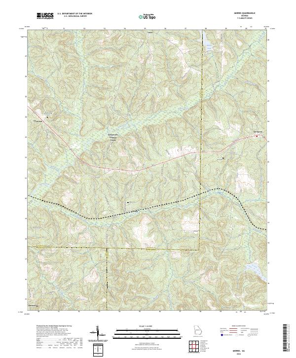
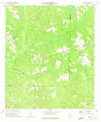
2024 Map of Morris
USGS Topo · Published 2024About this map
The confluence of Quitman and Randolph counties defines this landscape, where the settlements of Morris and Springvale serve as historic anchors along the modern road network. The terrain is deeply incised by a dense network of watercourses, most notably Pataula Creek and Holanna Creek, which drain the undulating hills of southwest Georgia. This 2024 survey documents the enduring presence of local community sites, including the Springvale Cemetery and Mount Zion Baptist Church Cemetery near Crossroads, providing essential landmarks for genealogical research.
Find a feature on this map
55 named features on this map. Tap any name to fly to it.
Don’t see what you’re looking for? This feature index may not catch every label — zoom into the map to look around manually.
Map Details
Editions of this 2024 Morris Map
This is the sole edition of this map. No revisions or reprints were ever made.
Other maps of this area

1953 · Dothan
USGS Topo · 1:250,000

1954 · Dothan
USGS Topo · 1:250,000

1955 · Dothan
USGS Topo · 1:250,000

1967 · Hatcher
USGS Topo · 1:24,000

1967 · Georgetown
USGS Topo · 1:24,000

1969 · Fort Gaines NE
USGS Topo · 1:24,000
1972 · Sanford
USGS Topo · 1:24,000
1972 · County Line
USGS Topo · 1:24,000
1972 · Cuthbert
USGS Topo · 1:24,000
1973 · Morris
USGS Topo · 1:24,000