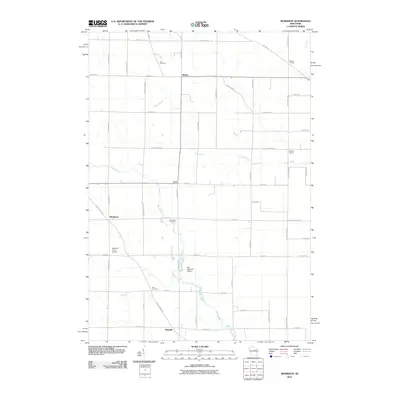
2010 Map of Morrison
USGS Topo · Published 2010About this map
Agricultural patterns and small rural crossroads define this corner of Brown County at the start of the 21st century. The landscape is organized by a grid of farm roads, punctuated by small community centers like Morrison, Shirley, and Wayside. These settlements often cluster around significant intersections, such as Hebels Corners and Pelishek Corners, reflecting a long history of local commerce and social gathering points in eastern Wisconsin.
Find a feature on this map
47 named features on this map. Tap any name to fly to it.
Don’t see what you’re looking for? This feature index may not catch every label — zoom into the map to look around manually.
Map Details
Editions of this 2010 Morrison Map
This is the sole edition of this map. No revisions or reprints were ever made.
Other maps of this area

1954 · De Pere
USGS Topo · 1:62,500

1954 · Denmark
USGS Topo · 1:62,500

1954 · De Pere
USGS Topo · 1:24,000

1954 · Chilton
USGS Topo · 1:62,500

1954 · Reedsville
USGS Topo · 1:62,500

1954 · Manitowoc
USGS Topo · 1:250,000

1954 · Bellevue
USGS Topo · 1:24,000

1955 · Green Bay
USGS Topo · 1:250,000

1958 · Manitowoc
USGS Topo · 1:250,000

1974 · Brillion
USGS Topo · 1:24,000