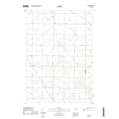
2018 Map of Morrison
USGS Topo · Published 2018About this map
Agricultural lands and wetlands dominate this portion of eastern Wisconsin near the border of Brown County and Manitowoc County. The landscape is anchored by the small unincorporated settlements of Morrison, Shirley, Lark, and Wayside, which serve as the primary crossroads for the region's rural road network. Several watercourses, including Devils River, Branch River, and Bower Cr, thread through the dairy-country terrain, often feeding into significant natural features like the Morrison Swamp and Cooperstown Swamp. Local history and genealogy interest is centered around the Zion Cem and Emmanuel Cem, which mark the early social centers of these farming communities. The map provides a clear look at the enduring township grid, where family-named roads like Schmidt Rd and Hickory Grove Rd provide access to the long-established homesteads of the area.
Find a feature on this map
52 named features on this map. Tap any name to fly to it.
Don’t see what you’re looking for? This feature index may not catch every label — zoom into the map to look around manually.
Map Details
Editions of this 2018 Morrison Map
This is the sole edition of this map. No revisions or reprints were ever made.
Other maps of this area

1954 · De Pere
USGS Topo · 1:62,500

1954 · Denmark
USGS Topo · 1:62,500

1954 · De Pere
USGS Topo · 1:24,000

1954 · Chilton
USGS Topo · 1:62,500

1954 · Reedsville
USGS Topo · 1:62,500

1954 · Manitowoc
USGS Topo · 1:250,000

1954 · Bellevue
USGS Topo · 1:24,000

1955 · Green Bay
USGS Topo · 1:250,000

1958 · Manitowoc
USGS Topo · 1:250,000

1974 · Brillion
USGS Topo · 1:24,000