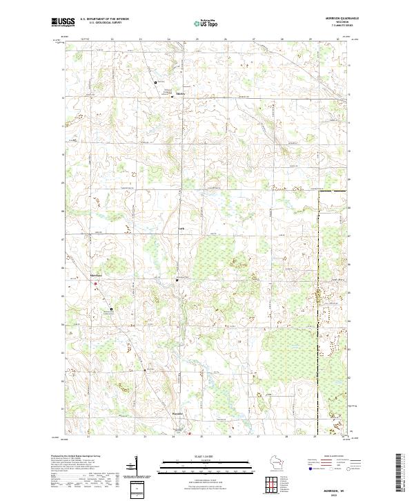
2022 Map of Morrison
USGS Topo · Published 2022About this map
Morrison and Wayside serve as primary hubs within this agricultural landscape of southern Brown County. The area is defined by a high concentration of religious landmarks and burial grounds, such as the Morrison Zion Lutheran Cem and Zion Lutheran Wayside Cem, reflecting the deep-rooted community foundations of the local townships. The terrain is marked by significant wetlands, including Morrison Swamp and Cooperstown Swamp to the southeast, while the Devils River and Branch River meander through the countryside.
Find a feature on this map
67 named features on this map. Tap any name to fly to it.
Don’t see what you’re looking for? This feature index may not catch every label — zoom into the map to look around manually.
Map Details
Editions of this 2022 Morrison Map
This is the sole edition of this map. No revisions or reprints were ever made.
Other maps of this area

1954 · De Pere
USGS Topo · 1:62,500

1954 · Denmark
USGS Topo · 1:62,500

1954 · De Pere
USGS Topo · 1:24,000

1954 · Chilton
USGS Topo · 1:62,500

1954 · Reedsville
USGS Topo · 1:62,500

1954 · Manitowoc
USGS Topo · 1:250,000

1954 · Bellevue
USGS Topo · 1:24,000

1955 · Green Bay
USGS Topo · 1:250,000

1958 · Manitowoc
USGS Topo · 1:250,000

1974 · Brillion
USGS Topo · 1:24,000