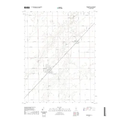
2021 Map of Morrisonville
USGS Topo · Published 2021About this map
Morrisonville and Palmer serve as the primary hubs in this Christian County landscape, where the local street grids follow both the cardinal directions and the diagonal path of Sarpy St. The agricultural character of the region is punctuated by numerous small cemeteries, such as Saint Maurice Cem and the Thomas-Anderson Cem, which provide essential clues for genealogical research in the area.
Find a feature on this map
75 named features on this map. Tap any name to fly to it.
Don’t see what you’re looking for? This feature index may not catch every label — zoom into the map to look around manually.
Map Details
Editions of this 2021 Morrisonville Map
This is the sole edition of this map. No revisions or reprints were ever made.
Other maps of this area

1922 · Divernon
USGS Topo · 1:62,500

1923 · Taylorville
USGS Topo · 1:62,500

1923 · Raymond
USGS Topo · 1:62,500

1924 · Divernon
USGS Topo · 1:62,500

1925 · Taylorville
USGS Topo · 1:62,500

1925 · Raymond
USGS Topo · 1:62,500

1946 · Nokomis
USGS Topo · 1:62,500

1949 · Nokomis
USGS Topo · 1:62,500

1958 · Decatur
USGS Topo · 1:250,000

1961 · Decatur
USGS Topo · 1:250,000