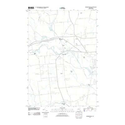
2010 Map of Morrisonville
USGS Topo · Published 2010About this map
The Saranac River carves a winding path through this corner of Clinton County, anchoring the settlements of Morrisonville and Woods Mills. This 2010 survey illustrates a landscape where agricultural heritage persists alongside modern aviation infrastructure, notably at the Clinton County Airport and Northway Airport. To the north, water management is evident in the Mead Reservoir and Patterson Reservoir, which feed into various brooks like Mead Brook and Patterson Brook.
Find a feature on this map
61 named features on this map. Tap any name to fly to it.
Don’t see what you’re looking for? This feature index may not catch every label — zoom into the map to look around manually.
Map Details
Editions of this 2010 Morrisonville Map
This is the sole edition of this map. No revisions or reprints were ever made.
Other maps of this area

1894 · Plattsburg
USGS Topo · 1:62,500

1895 · Mooers
USGS Topo · 1:62,500

1895 · Rouse Point
USGS Topo · 1:62,500

1899 · Mooers
USGS Topo · 1:62,500

1906 · Plattsburg
USGS Topo · 1:62,500

1907 · Rouse Point
USGS Topo · 1:62,500

1913 · Dannemora
USGS Topo · 1:62,500

1939 · Rouses Point
USGS Topo · 1:62,500

1939 · Plattsburg
USGS Topo · 1:62,500

1941 · Plattsburg
USGS Topo · 1:62,500