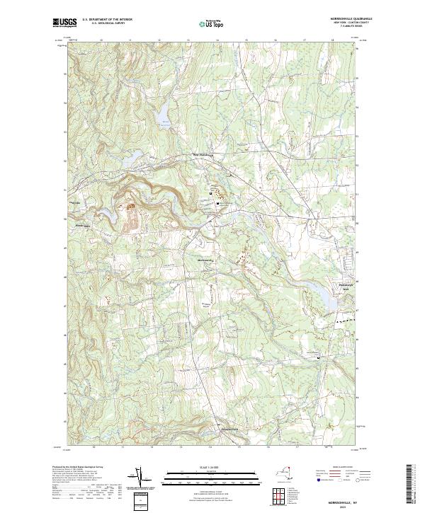
2023 Map of Morrisonville
USGS Topo · Published 2023About this map
Morrisonville and the surrounding Clinton County settlements sit along the meandering path of the Saranac River, where the landscape transitions from the river valley toward the northern uplands. The drainage patterns are clearly defined by numerous small tributaries including Patterson Brook, Mead Brook, and Riley Brook, while the Mead Reservoir serves as a significant hydrological feature to the north. This modern survey illustrates a well-developed road network, with major corridors like the Military Tpke and Robinson Rd connecting scattered residential areas and smaller hamlets such as West Plattsburgh and Schuyler Falls. Local heritage is preserved in several small burial grounds, including the Baker Cem, the Irish Settlement Cem near the southern border, and the uniquely named Magdala Solitude Cem. To the west, the river drops through Kent Falls, a distinctive topographical landmark in the Cadyville vicinity.
Find a feature on this map
111 named features on this map. Tap any name to fly to it.
Don’t see what you’re looking for? This feature index may not catch every label — zoom into the map to look around manually.
Map Details
Editions of this 2023 Morrisonville Map
This is the sole edition of this map. No revisions or reprints were ever made.
Other maps of this area

1894 · Plattsburg
USGS Topo · 1:62,500

1895 · Mooers
USGS Topo · 1:62,500

1895 · Rouse Point
USGS Topo · 1:62,500

1899 · Mooers
USGS Topo · 1:62,500

1906 · Plattsburg
USGS Topo · 1:62,500

1907 · Rouse Point
USGS Topo · 1:62,500

1913 · Dannemora
USGS Topo · 1:62,500

1939 · Rouses Point
USGS Topo · 1:62,500

1939 · Plattsburg
USGS Topo · 1:62,500

1941 · Plattsburg
USGS Topo · 1:62,500