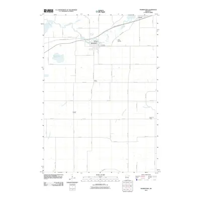
2010 Map of Morristown
USGS Topo · Published 2010About this map
Morristown and Warsaw serve as the primary hubs in this part of Rice County, connected by the course of the Cannon River and the recreational Sakatah Singing Hills Trl. The landscape is defined by its water management and agricultural grid, featuring infrastructure like the Morristown Pond Dam and Lower Sakatah Lake Dam. For those researching local families, the map is remarkably dense with burial sites, including Riverside Cemetery, Hillside Cemetery, Emmanuel Cemetery, and Corpus Christi Catholic Cemetery. Numerous seasonal waterways such as Mackenzie Creek, Devil Creek, and Waterville Creek drain the surrounding fields, illustrating the complex hydrology of this rural Minnesota region as it appeared in the early 21st century.
Find a feature on this map
51 named features on this map. Tap any name to fly to it.
Don’t see what you’re looking for? This feature index may not catch every label — zoom into the map to look around manually.
Map Details
Editions of this 2010 Morristown Map
This is the sole edition of this map. No revisions or reprints were ever made.
Other maps of this area

1953 · Saint Paul
USGS Topo · 1:250,000

1959 · Saint Paul
USGS Topo · 1:250,000

1960 · Faribault
USGS Topo · 1:24,000

1960 · Shieldsville
USGS Topo · 1:24,000

1962 · Morristown
USGS Topo · 1:24,000

1962 · Saco
USGS Topo · 1:24,000

1962 · Meriden
USGS Topo · 1:24,000

1962 · Medford West
USGS Topo · 1:24,000

1966 · Waseca
USGS Topo · 1:24,000

1966 · Waterville
USGS Topo · 1:24,000