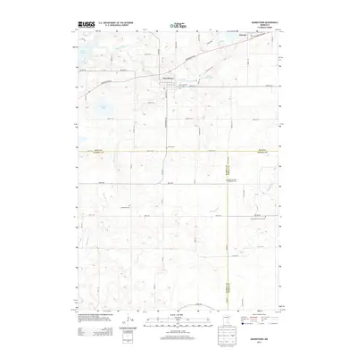
2013 Map of Morristown
USGS Topo · Published 2013About this map
The Cannon River defines the northern reaches of this landscape as it flows through Morristown and Warsaw in southern Minnesota. The topography transitions from the river valley and the shores of Lower Sakatah Lake into a structured grid of agricultural land and rural homesteads. This 2013 survey provides a clear view of the region's spiritual and genealogical geography, marking several denominational burial grounds including Corpus Christi Catholic Cem and Blooming Grove Methodist Cem.
Find a feature on this map
58 named features on this map. Tap any name to fly to it.
Don’t see what you’re looking for? This feature index may not catch every label — zoom into the map to look around manually.
Map Details
Editions of this 2013 Morristown Map
This is the sole edition of this map. No revisions or reprints were ever made.
Other maps of this area

1953 · Saint Paul
USGS Topo · 1:250,000

1959 · Saint Paul
USGS Topo · 1:250,000

1960 · Faribault
USGS Topo · 1:24,000

1960 · Shieldsville
USGS Topo · 1:24,000

1962 · Morristown
USGS Topo · 1:24,000

1962 · Saco
USGS Topo · 1:24,000

1962 · Meriden
USGS Topo · 1:24,000

1962 · Medford West
USGS Topo · 1:24,000

1966 · Waseca
USGS Topo · 1:24,000

1966 · Waterville
USGS Topo · 1:24,000