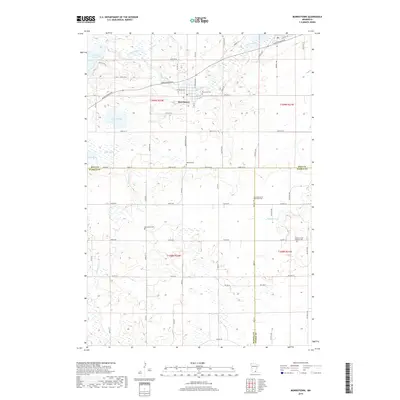
2019 Map of Morristown
USGS Topo · Published 2019About this map
Morristown sits at a crossroads of water and transport in this 2019 survey, where the Cannon River flows eastward toward the town's center. The landscape is defined by its complex glacial hydrology, featuring numerous wetlands and basins including Sakatah Lake, Sprague Lake, and Hands Marsh. This region, where Rice, Waseca, and Steele Counties converge, maintains a rural character dominated by a dense grid of township roads. For genealogists, the map is particularly useful for locating several distinct burial grounds that speak to the area's denominational history, such as Blooming Grove Methodist Cem and Corpus Christi Catholic Cem. The drainage patterns of Waterville Cr and Mackenzie Cr further illustrate the low-lying, water-rich terrain of southern Minnesota, where agricultural fields are punctuated by pockets of marshland and seasonal creeks like Devil Cr.
Find a feature on this map
61 named features on this map. Tap any name to fly to it.
Don’t see what you’re looking for? This feature index may not catch every label — zoom into the map to look around manually.
Map Details
Editions of this 2019 Morristown Map
This is the sole edition of this map. No revisions or reprints were ever made.
Other maps of this area

1953 · Saint Paul
USGS Topo · 1:250,000

1959 · Saint Paul
USGS Topo · 1:250,000

1960 · Faribault
USGS Topo · 1:24,000

1960 · Shieldsville
USGS Topo · 1:24,000

1962 · Morristown
USGS Topo · 1:24,000

1962 · Saco
USGS Topo · 1:24,000

1962 · Meriden
USGS Topo · 1:24,000

1962 · Medford West
USGS Topo · 1:24,000

1966 · Waseca
USGS Topo · 1:24,000

1966 · Waterville
USGS Topo · 1:24,000