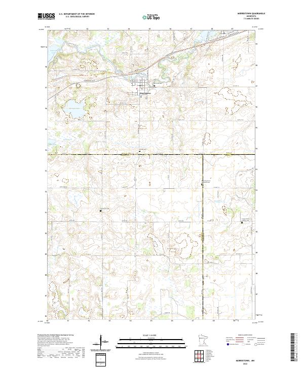
2022 Map of Morristown
USGS Topo · Published 2022About this map
Morristown serves as the focal point of this landscape, situated at the confluence of the Cannon River and Sakatah Lake. The town's layout and surrounding rural roads reveal a deeply established community pattern at the intersection of Rice, Waseca, and Steele counties. The map highlights several local landmarks important for genealogical research, including Riverside Cem and Hillside Cem just outside the town limits, along with Emmanuel Cem and the Blooming Grove Methodist Cem farther south.
Find a feature on this map
66 named features on this map. Tap any name to fly to it.
Don’t see what you’re looking for? This feature index may not catch every label — zoom into the map to look around manually.
Map Details
Editions of this 2022 Morristown Map
This is the sole edition of this map. No revisions or reprints were ever made.
Other maps of this area

1953 · Saint Paul
USGS Topo · 1:250,000

1959 · Saint Paul
USGS Topo · 1:250,000

1960 · Faribault
USGS Topo · 1:24,000

1960 · Shieldsville
USGS Topo · 1:24,000

1962 · Morristown
USGS Topo · 1:24,000

1962 · Saco
USGS Topo · 1:24,000

1962 · Meriden
USGS Topo · 1:24,000

1962 · Medford West
USGS Topo · 1:24,000

1966 · Waseca
USGS Topo · 1:24,000

1966 · Waterville
USGS Topo · 1:24,000