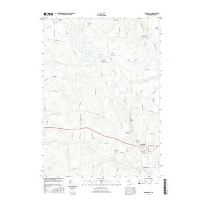
2016 Map of Morrisville
USGS Topo · Published 2016About this map
Morrisville serves as a focal point for this Madison County landscape, where the Morrisville State Coll is integrated into the town’s grid. The surrounding area is defined by significant wetlands, most notably the expansive Peterboro Swamp to the north and Morrisville Swamp in the central basin. These marshes and the winding Callahan Brook suggest a topography shaped by post-glacial drainage, creating a complex environment for local agriculture and settlement.
Find a feature on this map
96 named features on this map. Tap any name to fly to it.
Don’t see what you’re looking for? This feature index may not catch every label — zoom into the map to look around manually.
Map Details
Editions of this 2016 Morrisville Map
This is the sole edition of this map. No revisions or reprints were ever made.
Other maps of this area

1895 · Chittenango
USGS Topo · 1:62,500

1895 · Oneida
USGS Topo · 1:62,500

1897 · Cazenovia
USGS Topo · 1:62,500

1898 · Oneida
USGS Topo · 1:62,500

1898 · Chittenango
USGS Topo · 1:62,500

1899 · Cazenovia
USGS Topo · 1:62,500

1902 · Chittenango
USGS Topo · 1:62,500

1902 · Morrisville
USGS Topo · 1:62,500

1902 · Oneida
USGS Topo · 1:62,500

1939 · Oneida
USGS Topo · 1:62,500