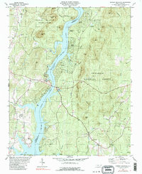
1981 Map of Morrow Mountain
USGS Topo · Published 1990About this map
The Uwharrie River and Pee Dee River converge here, feeding into the expansive waters of Lake Tillery. This 1980s landscape is defined by the transition from public recreational lands to burgeoning residential developments along the shoreline. Morrow Mountain State Park dominates the northwest, centered around peaks like Sugarloaf Mtn and Morrow Mtn, while the Uwharrie National Forest covers the eastern rugged terrain.
Find a feature on this map
57 named features on this map. Tap any name to fly to it.
Don’t see what you’re looking for? This feature index may not catch every label — zoom into the map to look around manually.
Map Details
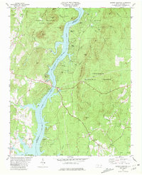
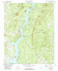
Editions of this 1981 Morrow Mountain Map
3 editions found
Other maps of this area

1942 · Troy
USGS Topo · 1:125,000

1953 · Raleigh
USGS Topo · 1:250,000

1953 · Charlotte
USGS Topo · 1:250,000

1954 · Charlotte
USGS Topo · 1:250,000

1954 · Raleigh
USGS Topo · 1:250,000

1956 · Mount Gilead East
USGS Topo · 1:24,000

1956 · Mount Gilead West
USGS Topo · 1:24,000

1957 · Albemarle
USGS Topo · 1:62,500

1957 · Troy
USGS Topo · 1:62,500

1960 · Charlotte
USGS Topo · 1:250,000