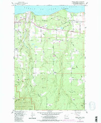
1961 Map of Morse Creek
USGS Topo · Published 1986About this map
The Strait of Juan de Fuca defines the northern edge of this coastal landscape, where the Olympic foothills meet the sea. Moving inland, the terrain rises toward the boundaries of Olympic National Park and Olympic National Forest, revealing a network of rural homesteads and mountain drainage systems. Several community-centric landmarks appear, including Fairview Hall and the Mt Pleasant Community Hall, reflecting the decentralized social structure of the mid-century Olympic Peninsula.
Find a feature on this map
70 named features on this map. Tap any name to fly to it.
Don’t see what you’re looking for? This feature index may not catch every label — zoom into the map to look around manually.
Map Details
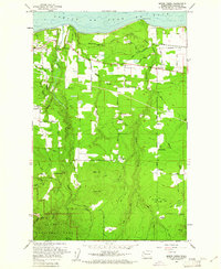
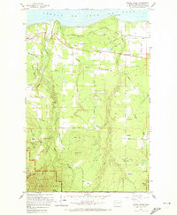
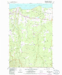
Editions of this 1961 Morse Creek Map
4 editions found
Other maps of this area

1918 · Port Angeles
USGS Topo · 1:62,500

1938 · Mt Constance
USGS Topo · 1:125,000

1938 · Dungeness
USGS Topo · 1:62,500

1939 · Dungeness
USGS Topo · 1:62,500

1941 · Port Angeles
USGS Topo · 1:62,500

1944 · Mt. Angeles
USGS Topo · 1:62,500

1946 · Mt. Angeles
USGS Topo · 1:62,500

1946 · Tyler Peak
USGS Topo · 1:62,500

1948 · Tyler Peak
USGS Topo · 1:62,500

1950 · Ediz Hook
USGS Topo · 1:24,000