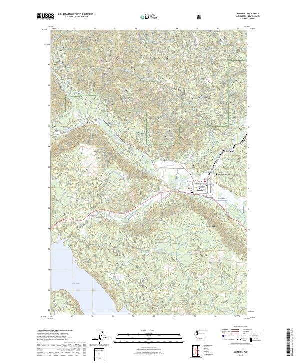
2023 Map of Morton
USGS Topo · Published 2023About this map
Morton sits at the junction of several valley roads, serving as a hub where the Tilton River meets numerous mountain creeks. This 2023 survey illustrates the town's layout, including local landmarks like Centralia College East and Strom Field, while the surrounding geography is defined by the steep timberlands of the Snoqualmie National Forest. To the south, the landscape transitions toward the northern reaches of Riffe Lake, fed by drainage from Swigeri Creek and Simmons Creek. Local history and genealogy are preserved at the Morton Cemetery and Stiltner Memorial Cemetery. The map captures the complex terrain of Bergen Mtn and Cottlers Rock, alongside a network of timber and access roads such as Bear Mountain Road and Highland Valley Road, reflecting the region's long-standing connection to the forest industry and river navigation.
Find a feature on this map
51 named features on this map. Tap any name to fly to it.
Don’t see what you’re looking for? This feature index may not catch every label — zoom into the map to look around manually.
Map Details
Editions of this 2023 Morton Map
This is the sole edition of this map. No revisions or reprints were ever made.
Other maps of this area

1919 · Mount St Helens
USGS Topo · 1:125,000

1937 · Eatonville
USGS Topo · 1:125,000

1953 · Hoquiam
USGS Topo · 1:250,000

1953 · Elk Rock
USGS Topo · 1:62,500

1956 · Mineral
USGS Topo · 1:62,500

1957 · Hoquiam
USGS Topo · 1:250,000

1957 · Morton
USGS Topo · 1:62,500

1957 · Spirit Lake
USGS Topo · 1:62,500

1958 · Hoquiam
USGS Topo · 1:250,000

1962 · Hoquiam
USGS Topo · 1:250,000