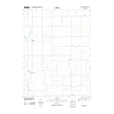
2010 Map of Morton Mills
USGS Topo · Published 2010About this map
The West Nodaway River and Middle Nodaway River define the agricultural landscape of this southwestern Iowa region, where small rural settlements are linked by a strict grid of section-line roads. The namesake community of Morton Mills sits along the western edge, while other small clusters such as Strand, Sciola, Tenville, and Dickieville mark historically significant crossroads. Genealogists will find several notable burial sites documented, including the Bolt Family Burying Ground and the Sciola Baptist Cemetery. The drainage of the land is meticulously mapped through named tributaries like Longs Branch, Sin Creek, and Fultons Creek, which snake between the upland fields. This 2010 survey illustrates the enduring nature of the township road system, where routes like Adams Montgomery Ave and Birch Ave maintain the layout established by 19th-century pioneers.
Find a feature on this map
48 named features on this map. Tap any name to fly to it.
Don’t see what you’re looking for? This feature index may not catch every label — zoom into the map to look around manually.
Map Details
Editions of this 2010 Morton Mills Map
This is the sole edition of this map. No revisions or reprints were ever made.
Other maps of this area

1954 · Omaha
USGS Topo · 1:250,000

1955 · Nebraska City
USGS Topo · 1:250,000

1957 · Nebraska City
USGS Topo · 1:250,000

1957 · Omaha
USGS Topo · 1:250,000

1958 · Omaha
USGS Topo · 1:250,000

1958 · Nebraska City
USGS Topo · 1:250,000

1978 · Stanton
USGS Topo · 1:24,000

1978 · Wallin
USGS Topo · 1:24,000

1978 · Griswold NE
USGS Topo · 1:24,000

1980 · Grant
USGS Topo · 1:24,000