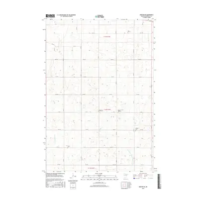
2016 Map of Morton NE
USGS Topo · Published 2016About this map
The agrarian landscape of Renville County is defined by a rigorous grid of section lines and drainage systems engineered to support a productive agricultural heartland. Small burial grounds serve as the primary markers of heritage in this rural expanse, including the Saint Paul Cem and the Swetlanda Lutheran Cem, many of which remain as the only tangible links to the immigrant congregations that settled the township. This particular survey highlights the critical role of water management in the region, with County Ditch Number One Hundred Fifteen and Ditch Number Twelve cutting across the terrain to regulate the moisture levels of the fertile soils. While the natural path of Fort Ridgely Cr winds through the central fields, the majority of the landscape is organized by an efficient network of rural roads like Co Rd 4 and Co Rd 50.
Find a feature on this map
32 named features on this map. Tap any name to fly to it.
Don’t see what you’re looking for? This feature index may not catch every label — zoom into the map to look around manually.
Map Details
Editions of this 2016 Morton NE Map
This is the sole edition of this map. No revisions or reprints were ever made.
Other maps of this area

1952 · Morton
USGS Topo · 1:62,500

1953 · New Ulm
USGS Topo · 1:250,000

1957 · New Ulm
USGS Topo · 1:250,000

1957 · Olivia
USGS Topo · 1:62,500

1958 · New Ulm
USGS Topo · 1:250,000

1964 · Fairfax
USGS Topo · 1:24,000

1964 · Hector
USGS Topo · 1:24,000

1967 · New Ulm
USGS Topo · 1:250,000

1967 · Churchill
USGS Topo · 1:24,000
1982 · Olivia SE
USGS Topo · 1:24,000