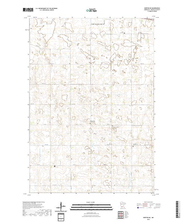
2022 Map of Morton NE
USGS Topo · Published 2022About this map
Scattered burial grounds and a complex network of agricultural drainage define this section of the Minnesota prairie, documented by the U.S. Geological Survey. The landscape is etched with the heritage of Scandinavian and German settlement, evidenced by the Palmyra Covenant Swedish Mission Cem, Swedlanda Lutheran Cem, and the Evangelical Lutheran Cem. These sites serve as silent markers of the congregational history that once anchored these rural townships.
Find a feature on this map
39 named features on this map. Tap any name to fly to it.
Don’t see what you’re looking for? This feature index may not catch every label — zoom into the map to look around manually.
Map Details
Editions of this 2022 Morton NE Map
This is the sole edition of this map. No revisions or reprints were ever made.
Other maps of this area

1952 · Morton
USGS Topo · 1:62,500

1953 · New Ulm
USGS Topo · 1:250,000

1957 · New Ulm
USGS Topo · 1:250,000

1957 · Olivia
USGS Topo · 1:62,500

1958 · New Ulm
USGS Topo · 1:250,000

1964 · Fairfax
USGS Topo · 1:24,000

1964 · Hector
USGS Topo · 1:24,000

1967 · New Ulm
USGS Topo · 1:250,000

1967 · Churchill
USGS Topo · 1:24,000
1982 · Olivia SE
USGS Topo · 1:24,000