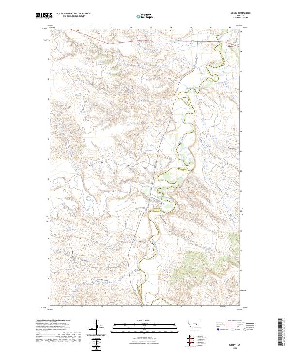
2024 Map of Mosby
USGS Topo · Published 2024About this map
The Musselshell River meanders sharply through this Petroleum and Garfield County landscape, forming a natural boundary that defines the local geography. The settlement of Mosby sits in the northeast corner of the sheet, serving as a primary point of reference in an area dominated by intricate drainage systems and deep coulees. The terrain is characterized by these erosional features, including Circle Bar Coulee and Anderson Coulee to the south, and Shaw Coulee near the Shaw Reservoir to the east.
Find a feature on this map
16 named features on this map. Tap any name to fly to it.
Don’t see what you’re looking for? This feature index may not catch every label — zoom into the map to look around manually.
Map Details
Editions of this 2024 Mosby Map
This is the sole edition of this map. No revisions or reprints were ever made.
Other maps of this area

1954 · Jordan
USGS Topo · 1:250,000

1954 · Forsyth
USGS Topo · 1:250,000

1954 · Roundup
USGS Topo · 1:250,000

1954 · Lewistown
USGS Topo · 1:250,000

1956 · Jordan
USGS Topo · 1:250,000

1957 · Forsyth
USGS Topo · 1:250,000

1958 · Jordan
USGS Topo · 1:250,000

1958 · Roundup
USGS Topo · 1:250,000

1958 · Forsyth
USGS Topo · 1:250,000

1959 · Lewistown
USGS Topo · 1:250,000