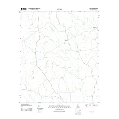
2012 Map of Moscow
USGS Topo · Published 2012About this map
The community of Moscow sits near the headwaters of Chickasawhay Cr, a drainage that defines much of the eastern Kemper County landscape. This rural area is characterized by family-named roads and scattered settlements, such as Damascus to the southwest and Liberty near the eastern margin. The terrain is notably marked by Bull Mountain, while numerous watercourses including Bogue Chitto, Tallachula Cr, and Pawticfaw Cr segment the timberland and agricultural plots.
Find a feature on this map
63 named features on this map. Tap any name to fly to it.
Don’t see what you’re looking for? This feature index may not catch every label — zoom into the map to look around manually.
Map Details
Editions of this 2012 Moscow Map
This is the sole edition of this map. No revisions or reprints were ever made.
Other maps of this area

1953 · Meridian
USGS Topo · 1:250,000

1957 · Meridian
USGS Topo · 1:250,000

1962 · House
USGS Topo · 1:24,000

1962 · Lynville
USGS Topo · 1:24,000

1962 · Daleville
USGS Topo · 1:24,000

1962 · Owl Creek
USGS Topo · 1:24,000

1962 · Lauderdale NW
USGS Topo · 1:24,000

1962 · Center Hill
USGS Topo · 1:24,000

1962 · Post
USGS Topo · 1:24,000

1962 · Moscow
USGS Topo · 1:24,000