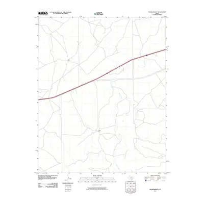
2010 Map of Moser Ranch
USGS Topo · Published 2010About this map
Moser Ranch and Ralls Ranch anchor this landscape in Deaf Smith County, reflecting the enduring ranching tradition of the Texas Panhandle during the early 21st century. The terrain is defined by the winding path of Mujares Creek, which provides a natural drainage system through the open country. This 2010 survey illustrates a sparsely settled area where modern infrastructure meets traditional land use, notably where the I-40 Svc Rd cuts diagonally across the northern half of the quadrangle. The map reveals a network of local roads and 4WD tracks that connect these isolated ranching headquarters, offering a clear view of the rural settlement patterns and water-dependent geography of the high plains before further regional development.
Find a feature on this map
4 named features on this map. Tap any name to fly to it.
Don’t see what you’re looking for? This feature index may not catch every label — zoom into the map to look around manually.
Map Details
Editions of this 2010 Moser Ranch Map
This is the sole edition of this map. No revisions or reprints were ever made.
Other maps of this area

1954 · Tucumcari
USGS Topo · 1:250,000

1958 · Tucumcari
USGS Topo · 1:250,000

1966 · Moser Ranch
USGS Topo · 1:24,000

1966 · Signal Spring
USGS Topo · 1:24,000

1966 · Boise
USGS Topo · 1:24,000

1966 · Signal Spring SE
USGS Topo · 1:24,000

1966 · Sand Point
USGS Topo · 1:24,000

1966 · Norton Lake
USGS Topo · 1:24,000

1968 · Rock Camp
USGS Topo · 1:24,000

1968 · Glenrio
USGS Topo · 1:24,000