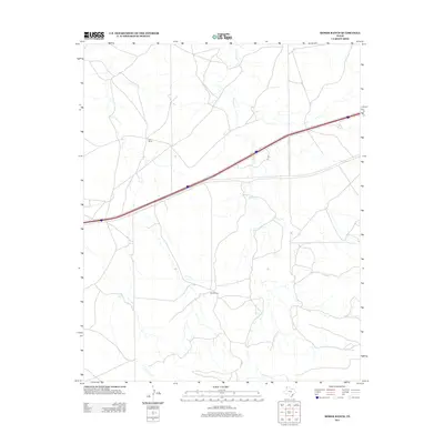
2012 Map of Moser Ranch
USGS Topo · Published 2012About this map
Moser Ranch and Rails Ranch define the sparse settlement pattern of this Deaf Smith County landscape as it appeared in 2012. Located in the Texas Panhandle, the area is characterized by large agricultural holdings and a vast network of section roads. The seasonal waters of Mujares Cr wind across the terrain, providing a natural drainage system that contrasts with the rigid geometry of the surrounding land divisions. This map documents the intersection of rural ranching life and modern infrastructure, centered on the corridor of Interstate 40. The presence of these named ranches offers a specific point of reference for researchers tracing land ownership and the evolution of ranching operations in this portion of the Llano Estacado.
Find a feature on this map
4 named features on this map. Tap any name to fly to it.
Don’t see what you’re looking for? This feature index may not catch every label — zoom into the map to look around manually.
Map Details
Editions of this 2012 Moser Ranch Map
This is the sole edition of this map. No revisions or reprints were ever made.
Other maps of this area

1954 · Tucumcari
USGS Topo · 1:250,000

1958 · Tucumcari
USGS Topo · 1:250,000

1966 · Moser Ranch
USGS Topo · 1:24,000

1966 · Signal Spring
USGS Topo · 1:24,000

1966 · Boise
USGS Topo · 1:24,000

1966 · Signal Spring SE
USGS Topo · 1:24,000

1966 · Sand Point
USGS Topo · 1:24,000

1966 · Norton Lake
USGS Topo · 1:24,000

1968 · Rock Camp
USGS Topo · 1:24,000

1968 · Glenrio
USGS Topo · 1:24,000