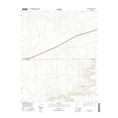
2016 Map of Moser Ranch
USGS Topo · Published 2016About this map
Moser Ranch sits at the heart of this landscape, anchoring a sparsely settled portion of the High Plains where the border of Oldham and Deaf Smith counties divides the terrain. The topography is defined by the winding course of Mujares Cr, which carves distinct drainage patterns across the prairie. Modern transportation infrastructure is represented by the I- 40 Svc Rd, running diagonally through the northern half of the quadrangle. This 2016 survey illustrates the persistent ranching character of the Texas Panhandle, where large landholdings like the Moser Ranch continue to define local geography and land use in a region primarily shaped by intermittent watercourses and broad upland reaches.
Find a feature on this map
4 named features on this map. Tap any name to fly to it.
Don’t see what you’re looking for? This feature index may not catch every label — zoom into the map to look around manually.
Map Details
Editions of this 2016 Moser Ranch Map
This is the sole edition of this map. No revisions or reprints were ever made.
Other maps of this area

1954 · Tucumcari
USGS Topo · 1:250,000

1958 · Tucumcari
USGS Topo · 1:250,000

1966 · Moser Ranch
USGS Topo · 1:24,000

1966 · Signal Spring
USGS Topo · 1:24,000

1966 · Boise
USGS Topo · 1:24,000

1966 · Signal Spring SE
USGS Topo · 1:24,000

1966 · Sand Point
USGS Topo · 1:24,000

1966 · Norton Lake
USGS Topo · 1:24,000

1968 · Rock Camp
USGS Topo · 1:24,000

1968 · Glenrio
USGS Topo · 1:24,000