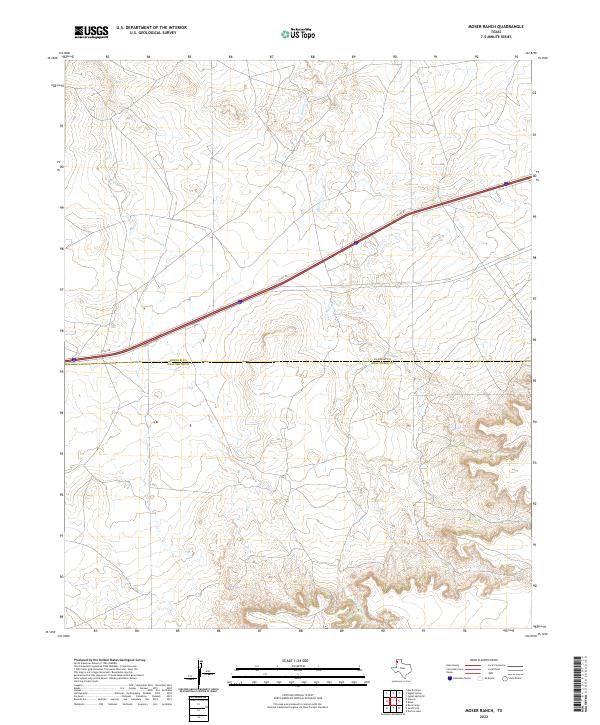
2022 Map of Moser Ranch
USGS Topo · Published 2022About this map
The High Plains landscape of the Texas Panhandle is defined here by the crossing of the Oldham Co and Deaf Smith Co line. This 2022 survey captures a transition in topography where the drainage of Mujares Cr cuts through the high plateau. The primary corridor for modern travel and access is the I- 40 Svc Rd, which runs parallel to the interstate as it traverses this ranchland. The map provides a look at the precise county boundary as it existed in the early 21st century, showing a region where large-scale ranching and the natural drainage patterns of the Llano Estacado remain the dominant features of the terrain.
Find a feature on this map
3 named features on this map. Tap any name to fly to it.
Don’t see what you’re looking for? This feature index may not catch every label — zoom into the map to look around manually.
Map Details
Editions of this 2022 Moser Ranch Map
This is the sole edition of this map. No revisions or reprints were ever made.
Other maps of this area

1954 · Tucumcari
USGS Topo · 1:250,000

1958 · Tucumcari
USGS Topo · 1:250,000

1966 · Moser Ranch
USGS Topo · 1:24,000

1966 · Signal Spring
USGS Topo · 1:24,000

1966 · Boise
USGS Topo · 1:24,000

1966 · Signal Spring SE
USGS Topo · 1:24,000

1966 · Sand Point
USGS Topo · 1:24,000

1966 · Norton Lake
USGS Topo · 1:24,000

1968 · Rock Camp
USGS Topo · 1:24,000

1968 · Glenrio
USGS Topo · 1:24,000