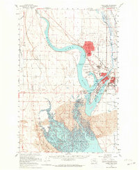
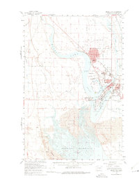
1956 Map of Moses Lake
USGS Topo · Published 1964About this map
Larson Air Force Base dominates the northern landscape of this mid-century survey, its expansive military footprint situated just north of the intricate shorelines of Moses Lake. The map details a period of significant regional development, showing the transition from agricultural tracts like Hiawatha Valley to the growing residential areas of Westlake and Cascade Valley. The southern portion of the sheet is defined by the massive Potholes Reservoir and the extensive Sand Dunes, illustrating the profound impact of the Columbia Basin Project's irrigation works on the local geography.
Find a feature on this map
51 named features on this map. Tap any name to fly to it.
Don’t see what you’re looking for? This feature index may not catch every label — zoom into the map to look around manually.
Map Details
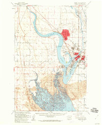
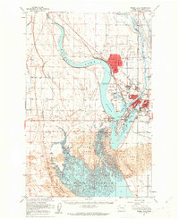
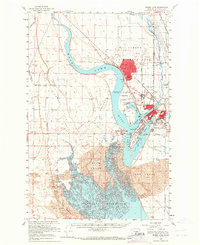
Editions of this 1956 Moses Lake Map
5 editions found
Other maps of this area

1910 · Winchester
USGS Topo · 1:62,500

1911 · Red Rock
USGS Topo · 1:62,500

1912 · Moses Lake
USGS Topo · 1:62,500

1923 · Corfu
USGS Topo · 1:62,500

1923 · Wheeler
USGS Topo · 1:62,500

1924 · Othello
USGS Topo · 1:62,500

1925 · Wheeler
USGS Topo · 1:62,500

1950 · Smyrna
USGS Topo · 1:62,500

1951 · Smyrna
USGS Topo · 1:62,500

1951 · Corfu
USGS Topo · 1:62,500