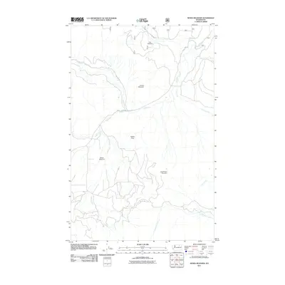
2011 Map of Moses Meadows
USGS Topo · Published 2011About this map
Moses Meadows and Cox Meadow anchor this high-elevation landscape in Okanogan County, where a complex network of forest and tribal roads provides access to the surrounding peaks. The area is defined by significant topographical features including Granite Mountain, Mackey Ridge, and Little Moses Mountain. A dense drainage system feeds several named waterways, with Lost Creek and Moses Creek cutting through the central terrain, while Stepstone Creek and Gold Creek drain the southern slopes.
Find a feature on this map
17 named features on this map. Tap any name to fly to it.
Don’t see what you’re looking for? This feature index may not catch every label — zoom into the map to look around manually.
Map Details
Editions of this 2011 Moses Meadows Map
This is the sole edition of this map. No revisions or reprints were ever made.
Other maps of this area

1902 · Osoyoos
USGS Topo · 1:125,000

1904 · Osoyoos
USGS Topo · 1:125,000

1904 · Republic
USGS Topo · 1:125,000

1951 · Wauconda
USGS Topo · 1:62,500

1952 · Disautel
USGS Topo · 1:62,500

1953 · Bald Knob
USGS Topo · 1:62,500

1954 · Okanogan
USGS Topo · 1:250,000

1957 · Aeneas Valley
USGS Topo · 1:62,500

1958 · Okanogan
USGS Topo · 1:250,000

1958 · Aeneas
USGS Topo · 1:62,500