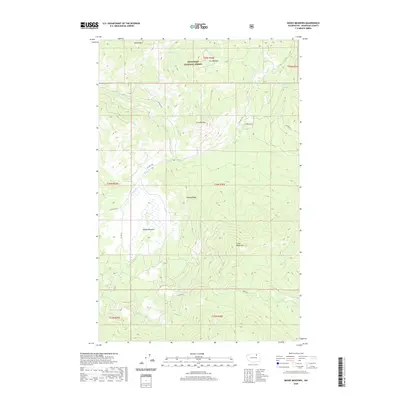
2020 Map of Moses Meadows
USGS Topo · Published 2020About this map
Moses Meadows defines the central valley of this Okanogan County landscape, where the wetland flats are fed by Moses Cr and Hayden Cr. Elevated terrain dominates the surrounding geography, with Granite Mtn and Mackey Ridge forming prominent natural barriers. This part of the Okanogan National Forest is characterized by a network of forest and tribal roads, such as Bia Rd 1024 and Bia RD 62, which connect the meadows to high-altitude features like Little Moses Mtn. Water sources are scattered throughout the highlands, including Cox Spring near Cox Meadow and several named drainages like Stepstone Cr and Loony Cr. The map captures a section of the American West where public lands and grazing areas intersect with the natural drainage basins of the Pacific Northwest.
Find a feature on this map
25 named features on this map. Tap any name to fly to it.
Don’t see what you’re looking for? This feature index may not catch every label — zoom into the map to look around manually.
Map Details
Editions of this 2020 Moses Meadows Map
This is the sole edition of this map. No revisions or reprints were ever made.
Other maps of this area

1902 · Osoyoos
USGS Topo · 1:125,000

1904 · Osoyoos
USGS Topo · 1:125,000

1904 · Republic
USGS Topo · 1:125,000

1951 · Wauconda
USGS Topo · 1:62,500

1952 · Disautel
USGS Topo · 1:62,500

1953 · Bald Knob
USGS Topo · 1:62,500

1954 · Okanogan
USGS Topo · 1:250,000

1957 · Aeneas Valley
USGS Topo · 1:62,500

1958 · Okanogan
USGS Topo · 1:250,000

1958 · Aeneas
USGS Topo · 1:62,500