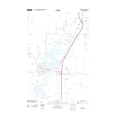
2013 Map of Mosinee
USGS Topo · Published 2013About this map
Mosinee and the village of Evergreen sit along a heavily managed stretch of the Wisconsin River in central Wisconsin. This landscape is defined by the extensive Mosinee Flowage and the northern reaches of Lake Dubay, highlighting the importance of water management and recreation in the region. The map reveals a complex river system characterized by numerous secondary channels and islands, such as Pine Island, and low-lying areas like Cemetery Slough.
Find a feature on this map
110 named features on this map. Tap any name to fly to it.
Don’t see what you’re looking for? This feature index may not catch every label — zoom into the map to look around manually.
Map Details
Editions of this 2013 Mosinee Map
This is the sole edition of this map. No revisions or reprints were ever made.
Other maps of this area

1899 · Wausau
USGS Topo · 1:125,000

1902 · Wausau
USGS Topo · 1:125,000

1902 · Marathon
USGS Topo · 1:125,000

1953 · Wausau
USGS Topo · 1:48,000

1953 · Marathon
USGS Topo · 1:48,000

1955 · Green Bay
USGS Topo · 1:250,000

1956 · Milladore
USGS Topo · 1:48,000

1956 · Stevens Point
USGS Topo · 1:48,000

1963 · Wausau West
USGS Topo · 1:24,000

1963 · Marathon
USGS Topo · 1:62,500