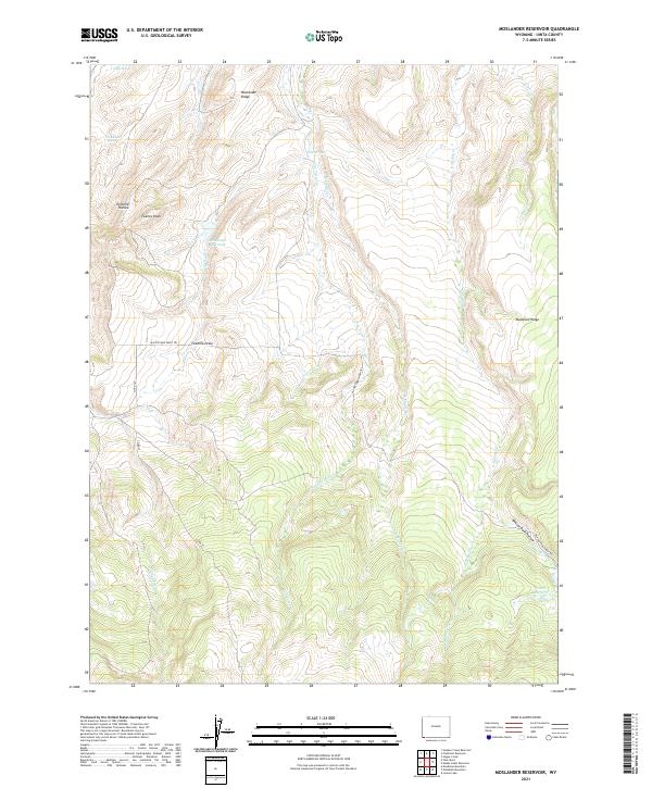
2021 Map of Moslander Reservoir
USGS Topo · Published 2021About this map
Moslander Reservoir and Moslander Ridge anchor this high-elevation landscape in Uinta County, where drainage systems and grazing routes dictate the layout of the land. The presence of the Blacks Fork Sheep Trl running through Twomile Draw and Beaver Dam Hollow reflects the long-standing importance of livestock movement through these basins. Water sources are critical here, evidenced by numerous named springs such as Eight Spring, Seventeen Spring, and the centrally located Cold Springs. Topographic features like Twenty Knoll and Mumford Ridge define the local divides between several converging creek systems, including E Muddy Cr, Van Tassel Cr, and W Muddy Cr. In the southeastern corner, Vacher Reservoir sits near the headwaters of Drown Cr, further illustrating the managed water resources characteristic of this Wyoming range country.
Find a feature on this map
26 named features on this map. Tap any name to fly to it.
Don’t see what you’re looking for? This feature index may not catch every label — zoom into the map to look around manually.
Map Details
Editions of this 2021 Moslander Reservoir Map
This is the sole edition of this map. No revisions or reprints were ever made.
Other maps of this area

1885 · Uinta
USGS Topo · 1:250,000

1901 · Hayden Peak
USGS Topo · 1:125,000

1903 · Hayden Peak
USGS Topo · 1:125,000

1954 · Salt Lake City
USGS Topo · 1:250,000

1954 · Ogden
USGS Topo · 1:250,000

1958 · Ogden
USGS Topo · 1:250,000

1958 · Salt Lake City
USGS Topo · 1:250,000

1960 · Ogden
USGS Topo · 1:250,000

1960 · Salt Lake City
USGS Topo · 1:250,000

1965 · Sulphur Creek Reservoir
USGS Topo · 1:24,000