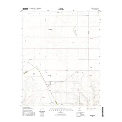
2017 Map of Mosquero
USGS Topo · Published 2017About this map
Mosquero sits at a geographic crossroads along the county line between Harding and San Miguel counties. This landscape is defined by its dramatic drainage networks, with numerous deep incisions such as Las Cuevas Canyon, Ensinosa Canyon, and Mosquero Canyon carving through the high plains. The settlement itself is anchored by local landmarks including the Mosquero Cemetery and Saint Joseph Cemetery, reflecting its role as a regional community center. Water features like Black Lake and Mosquero Creek highlight the vital, sparse water sources essential for life in this part of New Mexico. The grid of rural roads, including Black Lake Road and Heimann Road, connects isolated ranch lands to the village, while the rugged terrain of Fragoso Canyon and Antelope Canyon marks the natural transition of the high desert plateau.
Find a feature on this map
72 named features on this map. Tap any name to fly to it.
Don’t see what you’re looking for? This feature index may not catch every label — zoom into the map to look around manually.
Map Details
Editions of this 2017 Mosquero Map
This is the sole edition of this map. No revisions or reprints were ever made.
Other maps of this area

1954 · Santa Fe
USGS Topo · 1:250,000

1954 · Tucumcari
USGS Topo · 1:250,000

1958 · Santa Fe
USGS Topo · 1:250,000

1958 · Tucumcari
USGS Topo · 1:250,000

1969 · Salitre Canyon
USGS Topo · 1:24,000

1969 · Chinaberry Canyon
USGS Topo · 1:24,000

1972 · Waggoner Ranch
USGS Topo · 1:24,000

1973 · Mosquero
USGS Topo · 1:24,000

1973 · Sabino
USGS Topo · 1:24,000
1973 · Albert
USGS Topo · 1:24,000