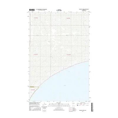
2016 Map of Mosquito Creek
USGS Topo · Published 2016About this map
Lower Red Lake dominates the southern landscape of this 2016 survey, where the water meets the shore along a distinct southwest-to-northeast line. The map captures a largely undeveloped wilderness within the Red Lake Reservation, where the drainage of Mosquito Cr meanders through the wetlands before emptying into the lake. Human presence is sparse, defined primarily by the path of Resvn Hwy 27, which traverses the northern section through the township of T154N R36W. This area marks the boundary between Beltrami Co and Clearwater Co, illustrating the intersection of county lines and reservation lands. The terrain is characterized by intricate wetland patterns and subtle elevation changes, providing a clear record of the natural hydrology and the primary transportation route serving this part of northern Minnesota.
Find a feature on this map
9 named features on this map. Tap any name to fly to it.
Don’t see what you’re looking for? This feature index may not catch every label — zoom into the map to look around manually.
Map Details
Editions of this 2016 Mosquito Creek Map
This is the sole edition of this map. No revisions or reprints were ever made.
Other maps of this area

1918 · Jelle
USGS Topo · 1:62,500

1919 · Churnes
USGS Topo · 1:62,500

1954 · Bemidji
USGS Topo · 1:250,000

1954 · Roseau
USGS Topo · 1:250,000

1957 · Roseau
USGS Topo · 1:250,000

1957 · Bemidji
USGS Topo · 1:250,000

1958 · Bemidji
USGS Topo · 1:250,000

1958 · Roseau
USGS Topo · 1:250,000
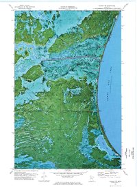
1972 · Berner NE
USGS Topo · 1:24,000

1973 · Manomin Creek SE
USGS Topo · 1:24,000