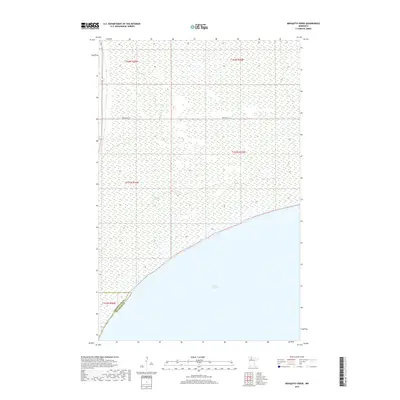
2019 Map of Mosquito Creek
USGS Topo · Published 2019About this map
Lower Red Lake dominates the southern reaches of this landscape, its vast shoreline marking the boundary where open water meets the extensive wetlands of northern Minnesota. This 2019 survey documents a sparsely developed region defined by these hydrologic systems, including the namesake Mosquito Cr which drains into the lake's northern edge. The presence of Resyn Hwy 27 provides a rare point of terrestrial access through this watery terrain, crossing several survey townships such as t154n r36w and t153n r36w. The jurisdictional boundary of Clearwater Co Beltrami Co is visible in the southwestern corner, reflecting the division of these remote lakefront lands. For those studying the geography of the Red Lake Reservation area, the map offers a clear look at the contemporary interface between the massive lake and the surrounding bog and marshland ecosystems.
Find a feature on this map
9 named features on this map. Tap any name to fly to it.
Don’t see what you’re looking for? This feature index may not catch every label — zoom into the map to look around manually.
Map Details
Editions of this 2019 Mosquito Creek Map
This is the sole edition of this map. No revisions or reprints were ever made.
Other maps of this area

1918 · Jelle
USGS Topo · 1:62,500

1919 · Churnes
USGS Topo · 1:62,500

1954 · Bemidji
USGS Topo · 1:250,000

1954 · Roseau
USGS Topo · 1:250,000

1957 · Roseau
USGS Topo · 1:250,000

1957 · Bemidji
USGS Topo · 1:250,000

1958 · Bemidji
USGS Topo · 1:250,000

1958 · Roseau
USGS Topo · 1:250,000
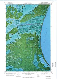
1972 · Berner NE
USGS Topo · 1:24,000

1973 · Manomin Creek SE
USGS Topo · 1:24,000