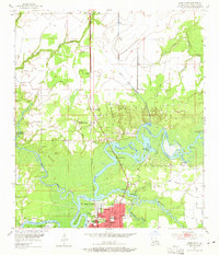
1955 Map of Moss Bluff
USGS Topo · Published 1965About this map
The Calcasieu River system dominates this mid-century survey of southwestern Louisiana, revealing a complex network of bayous and cypress-rich bottomlands north of the growing city of Lake Charles. The river's winding course creates a series of named backwaters including Watermelon Bay, Alligator Bay, and Burnett Bay, while the West Fork Calcasieu River separates Bear Island from the mainland. Settlement patterns are concentrated along the Southern Pacific rail line and major river crossings, with prominent family-named landmarks like Perkins Ferry and Indian Bayou Ferry marking historic transit points. To the north, the communities of Moss Bluff and Gillis are interspersed with several rural burial grounds, such as Birdsnest Cem and Ritchie Cem, providing critical geographic data for local genealogists. In the south, the industrial and residential grid of Goosport sits near the bend of English Bayou, where Radio Towers (KPLC) stand as modern landmarks in the 1950s landscape.
Find a feature on this map
51 named features on this map. Tap any name to fly to it.
Don’t see what you’re looking for? This feature index may not catch every label — zoom into the map to look around manually.
Map Details
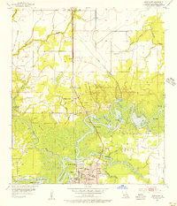
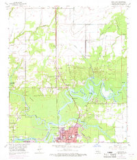
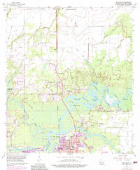
Editions of this 1955 Moss Bluff Map
4 editions found
Other maps of this area

1932 · Lake Charles NE
USGS Topo · 1:31,680

1932 · Lake Charles NW
USGS Topo · 1:31,680

1935 · Buhler
USGS Topo · 1:31,680

1935 · Moss Bluff
USGS Topo · 1:31,680

1935 · Gordon
USGS Topo · 1:31,680

1935 · Gaytine
USGS Topo · 1:31,680

1942 · Lake Charles
USGS Topo · 1:62,500

1947 · Gaytine
USGS Topo · 1:31,680

1947 · Moss Bluff
USGS Topo · 1:31,680

1947 · Hecker
USGS Topo · 1:31,680