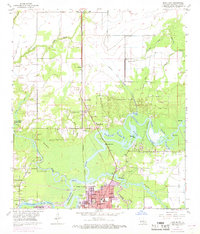
1955 Map of Moss Bluff
USGS Topo · Published 1968About this map
Moss Bluff and the northern outskirts of Lake Charles anchor this mid-century look at the Calcasieu parish riverfront. The landscape is defined by the winding course of the Calcasieu River and its numerous bayous, including English Bayou and Blackman Bayou. The 1967 revisions highlight the burgeoning urban growth in Goosport, where a dense grid of streets like Harless St and Medora St appears in purple near the Marion High Sch.
Find a feature on this map
64 named features on this map. Tap any name to fly to it.
Don’t see what you’re looking for? This feature index may not catch every label — zoom into the map to look around manually.
Map Details
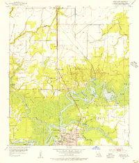
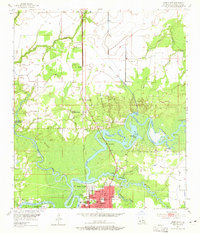
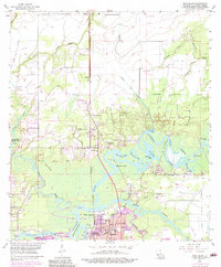
Editions of this 1955 Moss Bluff Map
4 editions found
Other maps of this area

1932 · Lake Charles NE
USGS Topo · 1:31,680

1932 · Lake Charles NW
USGS Topo · 1:31,680

1935 · Buhler
USGS Topo · 1:31,680

1935 · Moss Bluff
USGS Topo · 1:31,680

1935 · Gordon
USGS Topo · 1:31,680

1935 · Gaytine
USGS Topo · 1:31,680

1942 · Lake Charles
USGS Topo · 1:62,500

1947 · Gaytine
USGS Topo · 1:31,680

1947 · Moss Bluff
USGS Topo · 1:31,680

1947 · Hecker
USGS Topo · 1:31,680