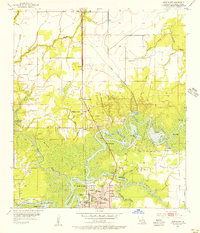
1955 Map of Moss Bluff
USGS Topo · Published 1956About this map
The intricate waterways of the Calcasieu River dominate this mid-century landscape north of Lake Charles, revealing a complex network of bays such as Burnett Bay, Moss Bluff Bay, and Bird Island Bay. The settlement of Moss Bluff is shown at a pivotal moment of development, situated between the river's loops and the Pacific Southern railroad line. Local history is preserved in the location of several traditional river crossings, including Indian Bayou Ferry and Perkins Ferry, which reflect the area's historical reliance on water transport before modern bridge infrastructure became dominant.
Find a feature on this map
61 named features on this map. Tap any name to fly to it.
Don’t see what you’re looking for? This feature index may not catch every label — zoom into the map to look around manually.
Map Details
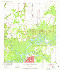
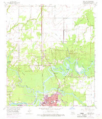
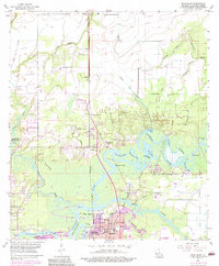
Editions of this 1955 Moss Bluff Map
4 editions found
Other maps of this area

1932 · Lake Charles NE
USGS Topo · 1:31,680

1932 · Lake Charles NW
USGS Topo · 1:31,680

1935 · Buhler
USGS Topo · 1:31,680

1935 · Moss Bluff
USGS Topo · 1:31,680

1935 · Gordon
USGS Topo · 1:31,680

1935 · Gaytine
USGS Topo · 1:31,680

1942 · Lake Charles
USGS Topo · 1:62,500

1947 · Gaytine
USGS Topo · 1:31,680

1947 · Moss Bluff
USGS Topo · 1:31,680

1947 · Hecker
USGS Topo · 1:31,680