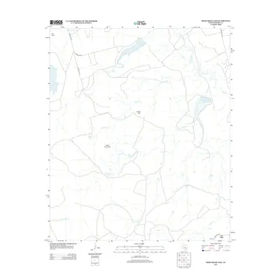
2012 Map of Moss Creek Lake
USGS Topo · Published 2012About this map
Otis Chalk sits in the southeastern corner of this West Texas landscape, serving as a primary point of reference in an area defined by its drainages and distinctive uplands. The terrain is marked by the Signal Mountains and Signal Peak, which rise above the surrounding plains. Hydrology plays a central role in the geography here, with Moss Cr Lake and the marshy expanse of Powell Lake collecting waters from a network of seasonal streams.
Find a feature on this map
21 named features on this map. Tap any name to fly to it.
Don’t see what you’re looking for? This feature index may not catch every label — zoom into the map to look around manually.
Map Details
Editions of this 2012 Moss Creek Lake Map
This is the sole edition of this map. No revisions or reprints were ever made.
Other maps of this area

1941 · Big Spring South
USGS Topo · 1:62,500

1942 · Big Spring South
USGS Topo · 1:62,500

1942 · Big Spring North
USGS Topo · 1:62,500

1951 · Iatan
USGS Topo · 1:24,000

1952 · Iatan
USGS Topo · 1:24,000

1954 · Big Spring
USGS Topo · 1:250,000

1954 · Big Spring North
USGS Topo · 1:24,000

1958 · Big Spring
USGS Topo · 1:250,000

1963 · Hayrick Mountain
USGS Topo · 1:24,000
1963 · Hyman
USGS Topo · 1:24,000