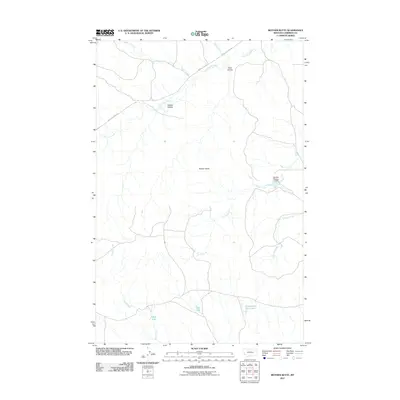
2011 Map of Mother Butte
USGS Topo · Published 2011About this map
Mother Butte rises as a central landmark in this high-plains landscape of Garfield County, where the drainage patterns of the Big Dry Creek watershed define the terrain. The map illustrates a network of seasonal watercourses and intermittent basins, including Cottonwood Tree Lakes and Old Lake, which are characteristic of this arid region of eastern Montana. These features, along with Mud Lake, suggest a land managed for ranching and water conservation, further evidenced by the presence of the Brooks Number 1 Dam on Horse Creek.
Find a feature on this map
14 named features on this map. Tap any name to fly to it.
Don’t see what you’re looking for? This feature index may not catch every label — zoom into the map to look around manually.
Map Details
Editions of this 2011 Mother Butte Map
This is the sole edition of this map. No revisions or reprints were ever made.
Other maps of this area

1954 · Jordan
USGS Topo · 1:250,000

1954 · Forsyth
USGS Topo · 1:250,000

1956 · Jordan
USGS Topo · 1:250,000

1957 · Forsyth
USGS Topo · 1:250,000

1958 · Jordan
USGS Topo · 1:250,000

1958 · Forsyth
USGS Topo · 1:250,000

1964 · Jordan
USGS Topo · 1:250,000

1965 · Dice Dam
USGS Topo · 1:24,000

1965 · Acorn Flats
USGS Topo · 1:24,000

1965 · Kramer Ranch
USGS Topo · 1:24,000