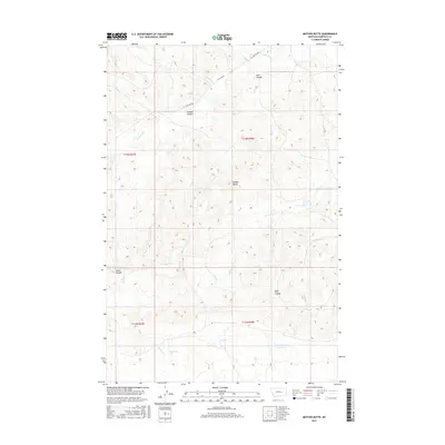
2017 Map of Mother Butte
USGS Topo · Published 2017About this map
Mother Butte stands as the central landmark in this portion of Garfield County, overlooking a landscape defined by an intricate network of drainage coulees and seasonal water bodies. The terrain is deeply incised by Gibson Coulee, Deer Coulee, and Hoff Coulee, reflecting the erosional patterns of the high plains. In the southern reaches of the quadrangle, a series of basins form Old Lake, Mud Lake, and the evocative Cottonwood Tree Lakes, which serve as critical hydrologic features in an otherwise arid environment. This 2017 survey documents the rural character of the area, where remote transportation is facilitated by W Little Dry Rd and W Little Rd. The arrangement of these labels suggests a landscape utilized primarily for grazing, where names like Antelope Cr and Wildcat Cr speak to the local fauna and the rugged nature of the northern Montana plains.
Find a feature on this map
19 named features on this map. Tap any name to fly to it.
Don’t see what you’re looking for? This feature index may not catch every label — zoom into the map to look around manually.
Map Details
Editions of this 2017 Mother Butte Map
This is the sole edition of this map. No revisions or reprints were ever made.
Other maps of this area

1954 · Jordan
USGS Topo · 1:250,000

1954 · Forsyth
USGS Topo · 1:250,000

1956 · Jordan
USGS Topo · 1:250,000

1957 · Forsyth
USGS Topo · 1:250,000

1958 · Jordan
USGS Topo · 1:250,000

1958 · Forsyth
USGS Topo · 1:250,000

1964 · Jordan
USGS Topo · 1:250,000

1965 · Dice Dam
USGS Topo · 1:24,000

1965 · Acorn Flats
USGS Topo · 1:24,000

1965 · Kramer Ranch
USGS Topo · 1:24,000