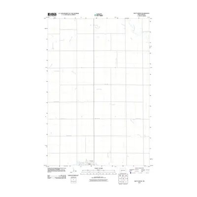
2011 Map of Mott North
USGS Topo · Published 2011About this map
Mott sits at the southern edge of this Hettinger County landscape, where the Cannonball River meanders through the prairie. The geography is defined by a dendritic network of seasonal and perennial waterways, most notably the winding paths of Spring Creek and Springs Creek, which carve subtle drainage patterns across the plains. Higher ground is sparsely populated, with a grid of rural routes such as Larson Lake Rd and Van Lishout Rd providing access to outlying farmsteads. Just north of the town center, Sunny Slope Cemetery serves as a significant landmark for genealogical research. The northern reaches of the quadrangle are dominated by the open drainage of Thirtymile Creek, illustrating the characteristic wide-open spaces of the North Dakota grasslands during the early twenty-first century.
Find a feature on this map
9 named features on this map. Tap any name to fly to it.
Don’t see what you’re looking for? This feature index may not catch every label — zoom into the map to look around manually.
Map Details
Editions of this 2011 Mott North Map
This is the sole edition of this map. No revisions or reprints were ever made.
Other maps of this area

1953 · Dickinson
USGS Topo · 1:250,000

1957 · Dickinson
USGS Topo · 1:250,000

1960 · White Butte West
USGS Topo · 1:24,000

1960 · Clark Butte SW
USGS Topo · 1:24,000

1960 · White Butte East
USGS Topo · 1:24,000

1966 · Mott South
USGS Topo · 1:24,000

1966 · Mott NW
USGS Topo · 1:24,000

1966 · Mott SW
USGS Topo · 1:24,000

1966 · Mott North
USGS Topo · 1:24,000

1969 · Burt
USGS Topo · 1:24,000