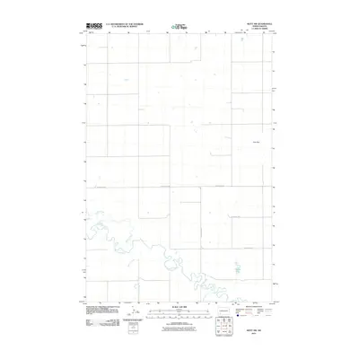
2011 Map of Mott NW
USGS Topo · Published 2011About this map
The Cannonball River meanders across the southern portion of this Hettinger County landscape, its winding course joined by smaller tributaries including Spring Creek, Dayton Creek, and Chilton Creek. This 2011 survey captures a quiet prairie environment defined by the high ground of the Zich Hills in the northeast and the isolated pocket of Charles Lake. The map reveals a highly structured grid of section lines and rural access routes such as Larson Lake Rd and Van Lishout Rd, which facilitate the agricultural life of the region. The drainage patterns of the river system provide a stark contrast to the rigid geometry of the road network, illustrating how the natural topography dictates the movement and settlement of this Great Plains territory.
Find a feature on this map
8 named features on this map. Tap any name to fly to it.
Don’t see what you’re looking for? This feature index may not catch every label — zoom into the map to look around manually.
Map Details
Editions of this 2011 Mott NW Map
This is the sole edition of this map. No revisions or reprints were ever made.
Other maps of this area

1953 · Dickinson
USGS Topo · 1:250,000

1957 · Dickinson
USGS Topo · 1:250,000

1960 · White Butte West
USGS Topo · 1:24,000

1960 · White Butte East
USGS Topo · 1:24,000

1966 · Mott South
USGS Topo · 1:24,000

1966 · Mott NW
USGS Topo · 1:24,000

1966 · Regent
USGS Topo · 1:24,000

1966 · Mott SW
USGS Topo · 1:24,000

1966 · Mott North
USGS Topo · 1:24,000

1973 · Stony Butte
USGS Topo · 1:24,000