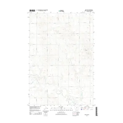
2014 Map of Mott NW
USGS Topo · Published 2014About this map
The Cannonball River winds through the southern portion of this Hettinger County landscape, establishing the primary drainage for a region defined by its wide, open drainages and subtle topographic shifts. This 2014 survey captures a rural North Dakota environment where the land is strictly organized by a regular grid of section-line roads, including 94th Ave SW and 71st St SW. To the east, the Zich Hills provide a more varied relief compared to the surrounding prairie, rising above the valleys carved by Spring Cr and Dayton Cr. The presence of small water bodies like Charles Lake and the feeder stream Chilton Cr emphasizes the importance of hydrology in this high-plains agricultural setting, where the intersection of water and the road network dictates the local geography.
Find a feature on this map
20 named features on this map. Tap any name to fly to it.
Don’t see what you’re looking for? This feature index may not catch every label — zoom into the map to look around manually.
Map Details
Editions of this 2014 Mott NW Map
This is the sole edition of this map. No revisions or reprints were ever made.
Other maps of this area

1953 · Dickinson
USGS Topo · 1:250,000

1957 · Dickinson
USGS Topo · 1:250,000

1960 · White Butte West
USGS Topo · 1:24,000

1960 · White Butte East
USGS Topo · 1:24,000

1966 · Mott South
USGS Topo · 1:24,000

1966 · Mott NW
USGS Topo · 1:24,000

1966 · Regent
USGS Topo · 1:24,000

1966 · Mott SW
USGS Topo · 1:24,000

1966 · Mott North
USGS Topo · 1:24,000

1973 · Stony Butte
USGS Topo · 1:24,000