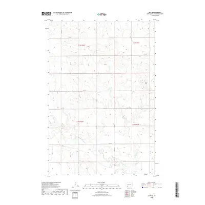
2018 Map of Mott NW
USGS Topo · Published 2018About this map
The Cannonball River meanders across the southern portion of this landscape, carving a distinct valley through the prairie of Hettinger County. This region is defined by a grid of rural section-line roads, such as Larson Lake Rd, that facilitate access to the surrounding agricultural fields. The terrain is notably marked by the Zich Hills in the northeast, which provide a break in the relatively consistent elevation of the plains. Multiple watercourses, including Spring Cr, Dayton Cr, and Chilton Cr, drain into the primary river system, reflecting the natural drainage patterns of this North Dakota watershed. Charles Lake sits near the eastern boundary, serving as a localized catch basin within a terrain otherwise dominated by small seasonal drainages and rolling prairie land.
Find a feature on this map
18 named features on this map. Tap any name to fly to it.
Don’t see what you’re looking for? This feature index may not catch every label — zoom into the map to look around manually.
Map Details
Editions of this 2018 Mott NW Map
This is the sole edition of this map. No revisions or reprints were ever made.
Other maps of this area

1953 · Dickinson
USGS Topo · 1:250,000

1957 · Dickinson
USGS Topo · 1:250,000

1960 · White Butte West
USGS Topo · 1:24,000

1960 · White Butte East
USGS Topo · 1:24,000

1966 · Mott South
USGS Topo · 1:24,000

1966 · Mott NW
USGS Topo · 1:24,000

1966 · Regent
USGS Topo · 1:24,000

1966 · Mott SW
USGS Topo · 1:24,000

1966 · Mott North
USGS Topo · 1:24,000

1973 · Stony Butte
USGS Topo · 1:24,000