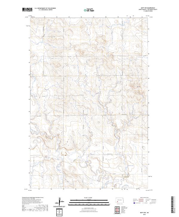
2024 Map of Mott NW
USGS Topo · Published 2024About this map
The Cannonball River winds through the southern reaches of this Hettinger County landscape, defining the local drainage patterns alongside Chilton Creek and Dixon Creek. The terrain is characterized by the prominent Zich Hills in the northeast, which rise above the surrounding agricultural sections. This 2024 survey reflects the modern rural grid of western North Dakota, where gravel roads like Larson Lake Rd and 64 ST SW provide access to isolated farmsteads and open prairie. Water is a central feature of the topography, from the meandering Spring Creek in the west to the quiet waters of Charles Lake tucked away in the southeast corner. The map captures the quiet, expansive nature of the Great Plains, where the Public Land Survey System creates a rigid framework over the undulating hills and seasonal waterways.
Find a feature on this map
24 named features on this map. Tap any name to fly to it.
Don’t see what you’re looking for? This feature index may not catch every label — zoom into the map to look around manually.
Map Details
Editions of this 2024 Mott NW Map
This is the sole edition of this map. No revisions or reprints were ever made.
Other maps of this area

1953 · Dickinson
USGS Topo · 1:250,000

1957 · Dickinson
USGS Topo · 1:250,000

1960 · White Butte West
USGS Topo · 1:24,000

1960 · White Butte East
USGS Topo · 1:24,000

1966 · Mott South
USGS Topo · 1:24,000

1966 · Mott NW
USGS Topo · 1:24,000

1966 · Regent
USGS Topo · 1:24,000

1966 · Mott SW
USGS Topo · 1:24,000

1966 · Mott North
USGS Topo · 1:24,000

1973 · Stony Butte
USGS Topo · 1:24,000