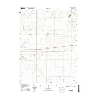
2013 Map of Moulton
USGS Topo · Published 2013About this map
St. Marys and the surrounding Auglaize County farmland are characterized by a dense grid of rural roads and scattered crossroad settlements. The landscape is drained by a network of waterways including the Auglaize River, Saint Marys River, and several branches like Center Br and Clear Cr. This early 21st-century survey highlights the enduring agricultural character of the region, anchored by the Homan Dairy and several small community centers.
Find a feature on this map
100 named features on this map. Tap any name to fly to it.
Don’t see what you’re looking for? This feature index may not catch every label — zoom into the map to look around manually.
Map Details
Editions of this 2013 Moulton Map
This is the sole edition of this map. No revisions or reprints were ever made.
Other maps of this area

1906 · Lima
USGS Topo · 1:62,500

1909 · Loramie
USGS Topo · 1:62,500

1911 · Loramie
USGS Topo · 1:62,500

1911 · Spencerville
USGS Topo · 1:62,500

1913 · Sidney
USGS Topo · 1:62,500

1944 · Sidney
USGS Topo · 1:62,500

1944 · Loramie
USGS Topo · 1:62,500

1944 · Spencerville
USGS Topo · 1:62,500

1953 · Muncie
USGS Topo · 1:250,000

1956 · Muncie
USGS Topo · 1:250,000