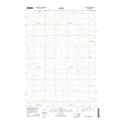
2015 Map of Moulton Creek
USGS Topo · Published 2015About this map
The N Fork Little Missouri River defines the southern reaches of this landscape along the border of Montana and Wyoming. This high-plains terrain is marked by the industrial presence of the Thompson Creek Oilfield Airport, signaling the region's connection to energy development. A complex network of drainages including Moulton Cr, Battle Cr, and several branches of the Gammon Prong carve through the topography, leading toward the Battle Cr Reservoir in the southeast. Rising above the surrounding draws, Signal Hill serves as a prominent natural landmark in a territory primarily organized by the Public Land Survey System. The map documents the rural infrastructure of the early 21st century, illustrating how ranching and resource extraction intersect with the natural flow of the Little Missouri watershed.
Find a feature on this map
17 named features on this map. Tap any name to fly to it.
Don’t see what you’re looking for? This feature index may not catch every label — zoom into the map to look around manually.
Map Details
Editions of this 2015 Moulton Creek Map
This is the sole edition of this map. No revisions or reprints were ever made.
Other maps of this area

1905 · Devils Tower
USGS Topo · 1:125,000

1954 · Ekalaka
USGS Topo · 1:250,000

1954 · Gillette
USGS Topo · 1:250,000

1955 · Gillette
USGS Topo · 1:250,000

1956 · Ekalaka
USGS Topo · 1:250,000

1957 · Cedar Ridge
USGS Topo · 1:62,500

1958 · Gillette
USGS Topo · 1:250,000

1958 · Ekalaka
USGS Topo · 1:250,000

1962 · Gillette
USGS Topo · 1:250,000

1965 · Ekalaka
USGS Topo · 1:250,000