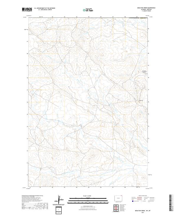
2021 Map of Moulton Creek
USGS Topo · Published 2021About this map
The N Fork Little Missouri River anchors this drainage basin in northeastern Wyoming, where a complex network of seasonal and perennial waterways defines the high plains landscape. Significant watercourses such as Battle Creek and Gammon Prong flow across the terrain, indicating the intricate hydrological patterns of Crook County. The presence of the Thompson Creek Oilfield Airport in the northeast corner highlights the intersection of modern infrastructure with the expansive ranchlands of the region. Local landmarks like Signal Hill provide topographic orientation amidst the various branches of Moulton Creek and North Battle Creek. This survey captures the rural character of the Montana-Wyoming borderlands, showing the grid-like township and range boundaries that overlay the natural winding paths of Thompson Creek and Driscoll Creek.
Find a feature on this map
18 named features on this map. Tap any name to fly to it.
Don’t see what you’re looking for? This feature index may not catch every label — zoom into the map to look around manually.
Map Details
Editions of this 2021 Moulton Creek Map
This is the sole edition of this map. No revisions or reprints were ever made.
Other maps of this area

1905 · Devils Tower
USGS Topo · 1:125,000

1954 · Ekalaka
USGS Topo · 1:250,000

1954 · Gillette
USGS Topo · 1:250,000

1955 · Gillette
USGS Topo · 1:250,000

1956 · Ekalaka
USGS Topo · 1:250,000

1957 · Cedar Ridge
USGS Topo · 1:62,500

1958 · Gillette
USGS Topo · 1:250,000

1958 · Ekalaka
USGS Topo · 1:250,000

1962 · Gillette
USGS Topo · 1:250,000

1965 · Ekalaka
USGS Topo · 1:250,000