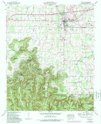
1960 Map of Moulton
USGS Topo · Published 1989About this map
Moulton serves as the focal point of this North Alabama landscape, situated where the broad Moulton Valley meets the rising terrain of the William B Bankhead National Forest. This 1960 survey, updated in the late 1980s, reveals the proximity of civic life and timberland, with the town center featuring a Coliseum and Lawrence County High School just north of the rugged Tennessee Valley Divide. The southern portion of the map is dominated by the dense canopy of the national forest and the Tennessee Valley Wildlife Management Area, where landforms like Penitentiary Mountain and Buzzard Roost Mountain create a natural barrier. The historic Byler Road winds through the valley, connecting outlying settlements such as Muck City and Wren while passing numerous family landmarks like Heflin Cem and the Community Bible Ch.
Find a feature on this map
52 named features on this map. Tap any name to fly to it.
Don’t see what you’re looking for? This feature index may not catch every label — zoom into the map to look around manually.
Map Details
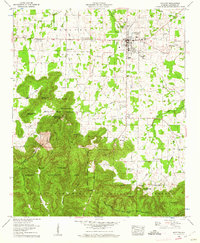
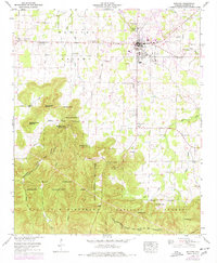
Editions of this 1960 Moulton Map
3 editions found
Other maps of this area

1935 · Moulton
USGS Topo · 1:24,000

1935 · Upshaw
USGS Topo · 1:24,000

1935 · Danville
USGS Topo · 1:48,000

1935 · Oakville
USGS Topo · 1:24,000

1936 · Caddo
USGS Topo · 1:24,000

1936 · Moulton
USGS Topo · 1:48,000

1936 · Masterson
USGS Topo · 1:24,000

1936 · Hatton
USGS Topo · 1:24,000

1936 · Landersville
USGS Topo · 1:24,000

1938 · Danville
USGS Topo · 1:62,500