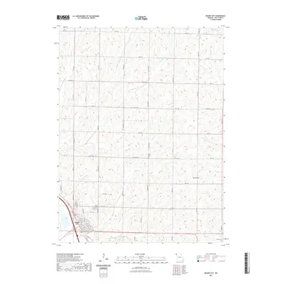
2021 Map of Mound City
USGS Topo · Published 2021About this map
Mound City sits at the southwestern edge of this Holt County landscape, where the traditional street grid meets the engineered drainage of the Missouri River floodplain. The transition from the structured town blocks of State St and Savannah St to the winding upland roads illustrates the local geography's shift from bottomlands to loess bluffs. To the east, the rural character is defined by the three branches of Squaw Creek—Squaw Cr, Middle Br Squaw Cr, and E Br Squaw Cr—which carve through the rolling agricultural terrain. Historic burial grounds like Mount Hope Cem and Center District Cem provide anchor points for genealogists, while the presence of the Crop Care Airport near the city center reflects the area's continued reliance on intensive farming. Small, unincorporated communities such as Whig Valley remain marked in the eastern reaches, preserving the names of long-standing local neighborhoods.
Find a feature on this map
51 named features on this map. Tap any name to fly to it.
Don’t see what you’re looking for? This feature index may not catch every label — zoom into the map to look around manually.
Map Details
Editions of this 2021 Mound City Map
This is the sole edition of this map. No revisions or reprints were ever made.
Other maps of this area

1920 · Craig
USGS Topo · 1:62,500

1926 · Maitland
USGS Topo · 1:62,500

1939 · Tarkio
USGS Topo · 1:62,500

1939 · Skidmore
USGS Topo · 1:62,500

1940 · Tarkio
USGS Topo · 1:62,500

1941 · Tarkio
USGS Topo · 1:62,500

1941 · Skidmore
USGS Topo · 1:62,500

1942 · Skidmore
USGS Topo · 1:62,500

1955 · Nebraska City
USGS Topo · 1:250,000

1957 · Nebraska City
USGS Topo · 1:250,000