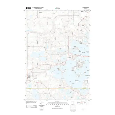
2013 Map of Mound
USGS Topo · Published 2013About this map
Lake Minnetonka dominates the landscape of this suburban Minneapolis area, shaping the layout of communities like Mound and Saga Hill. The intricate shoreline is marked by numerous residential points and bays, including Jennings Bay, Harrison Bay, and Cooks Bay. This aquatic network is complemented by a dense collection of smaller inland water bodies such as Dutch Lake, Langdon Lake, and Whaletail Lake.
Find a feature on this map
137 named features on this map. Tap any name to fly to it.
Don’t see what you’re looking for? This feature index may not catch every label — zoom into the map to look around manually.
Map Details
Editions of this 2013 Mound Map
This is the sole edition of this map. No revisions or reprints were ever made.
Other maps of this area

1905 · Minnetonka
USGS Topo · 1:62,500

1907 · Minnetonka
USGS Topo · 1:62,500

1909 · Rockford
USGS Topo · 1:62,500

1953 · Saint Paul
USGS Topo · 1:250,000

1953 · Stillwater
USGS Topo · 1:250,000

1955 · Stillwater
USGS Topo · 1:250,000

1957 · Waconia
USGS Topo · 1:62,500

1958 · Stillwater
USGS Topo · 1:250,000

1958 · Victoria
USGS Topo · 1:24,000

1958 · Rockford
USGS Topo · 1:62,500