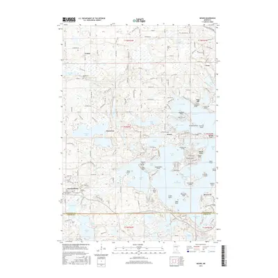
2016 Map of Mound
USGS Topo · Published 2016About this map
Lake Minnetonka dominates this 2016 survey, its complex shoreline defining the social and physical geography of Mound, Minnetrista, and Spring Park. The map documents a landscape where water and land are inextricably linked, featuring numerous named points and islands such as Enchanted Island, Eagle Island, and Hardscrabble Point. These features reflect a history of lakeside development and seasonal habitation that transformed the area into a premier residential and recreational destination.
Find a feature on this map
190 named features on this map. Tap any name to fly to it.
Don’t see what you’re looking for? This feature index may not catch every label — zoom into the map to look around manually.
Map Details
Editions of this 2016 Mound Map
This is the sole edition of this map. No revisions or reprints were ever made.
Other maps of this area

1905 · Minnetonka
USGS Topo · 1:62,500

1907 · Minnetonka
USGS Topo · 1:62,500

1909 · Rockford
USGS Topo · 1:62,500

1953 · Saint Paul
USGS Topo · 1:250,000

1953 · Stillwater
USGS Topo · 1:250,000

1955 · Stillwater
USGS Topo · 1:250,000

1957 · Waconia
USGS Topo · 1:62,500

1958 · Stillwater
USGS Topo · 1:250,000

1958 · Victoria
USGS Topo · 1:24,000

1958 · Rockford
USGS Topo · 1:62,500